

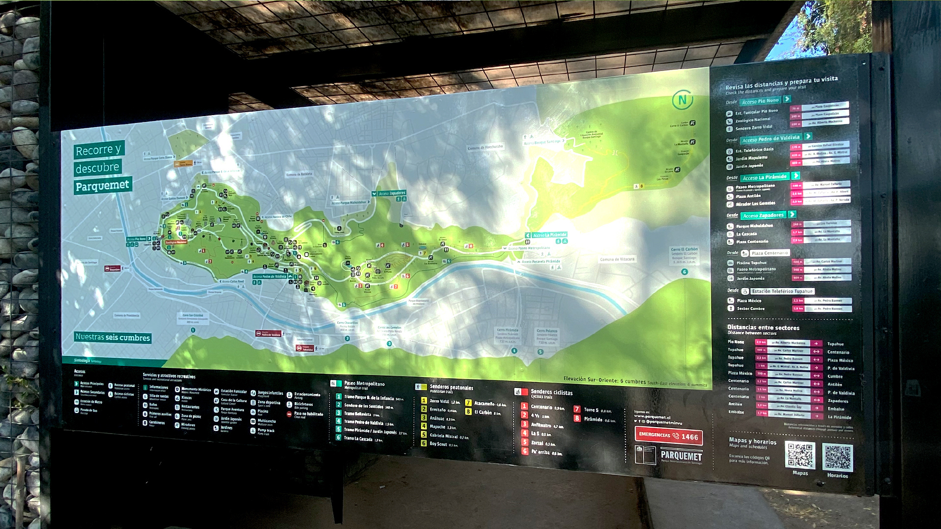
Parquemet Map
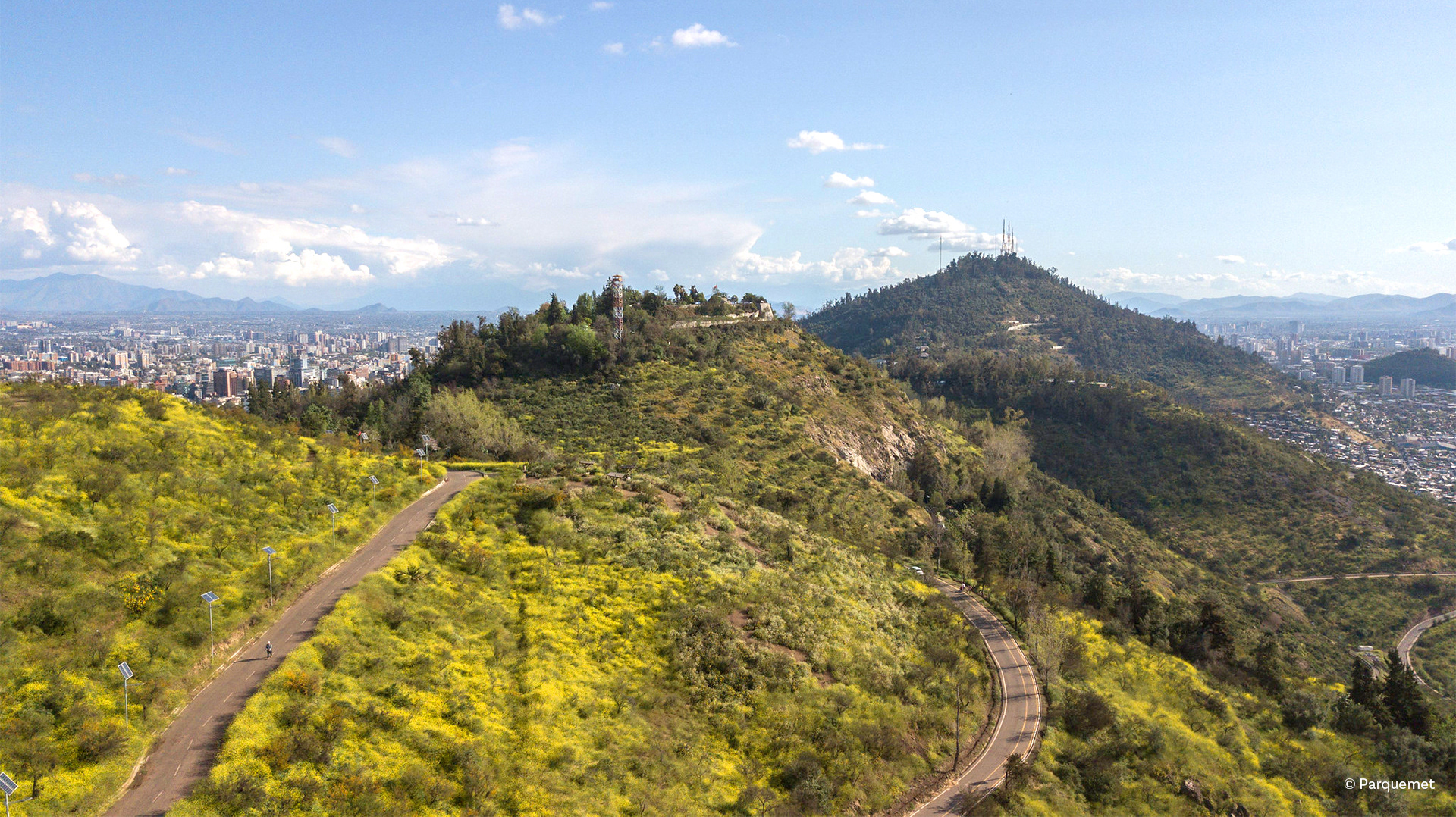
Updating a previous design, this new version simplifies information for better self-guided visits. As Santiago’s largest green space—700+ hectares and the world’s fourth-largest urban park—Parquemet offers countless attractions, trails, and routes. The challenge? Making all that info clear and accessible.
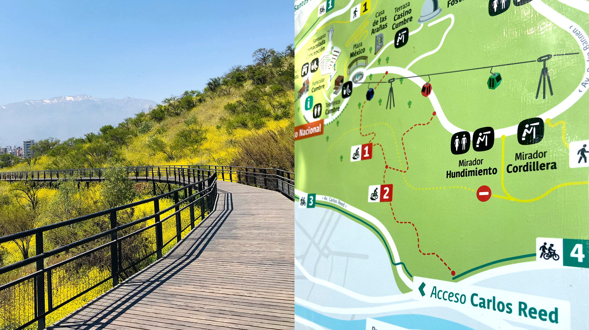
This version introduces key improvements: the Tenca Parquemet pictogram system, standardized colors and sizes, and real-time distance and time indicators.
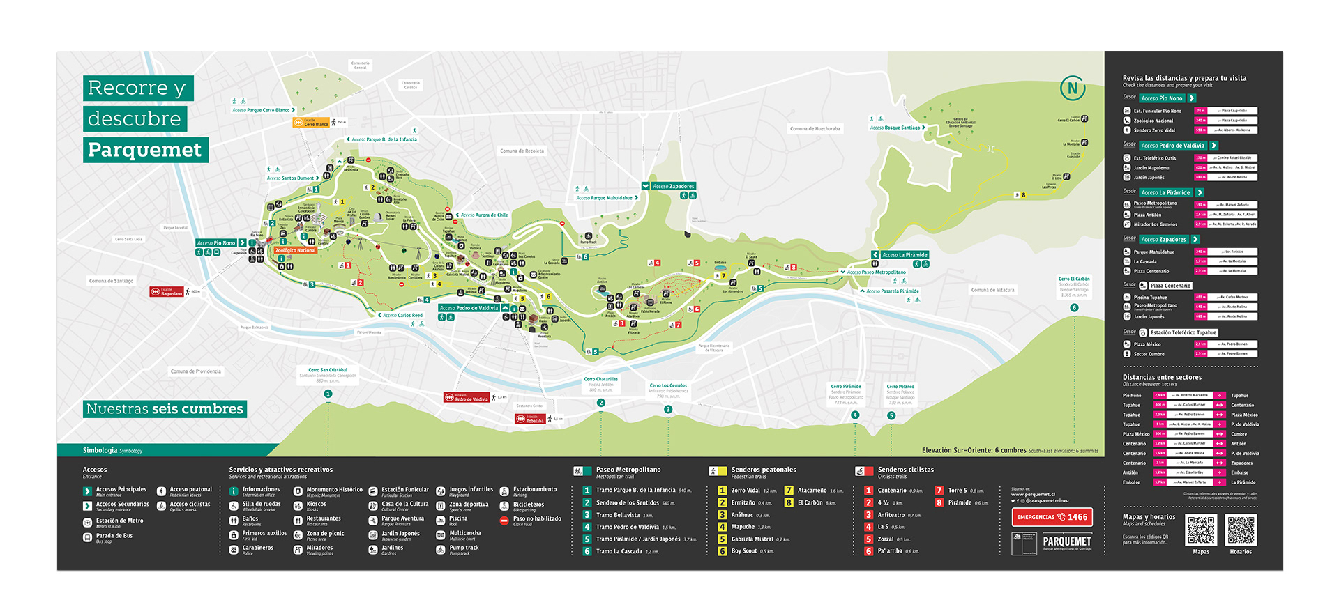


Client: Parquemet, Year: 2022, Collaborators: T. Leiva, C. Pascual, others, Areas: Wayfinding, Map Design